
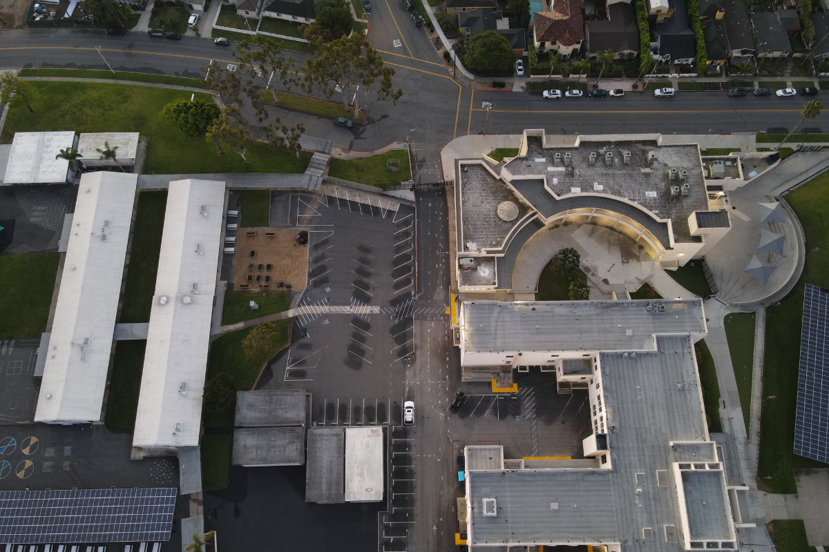
Underground Utility Mapping Services for Planning and Coordination
Underground utility mapping helps document buried utilities before excavation, trenching, and planning decisions. This service supports safer coordination by giving teams a clearer picture of underground conditions.
Unlike temporary paint and flags alone, mapping organizes field information into a practical project reference for construction teams, engineers, and facility stakeholders.
Underground utility mapping is a core part of broader utility mapping services for construction planning and site coordination.
What Is Underground Utility Mapping?
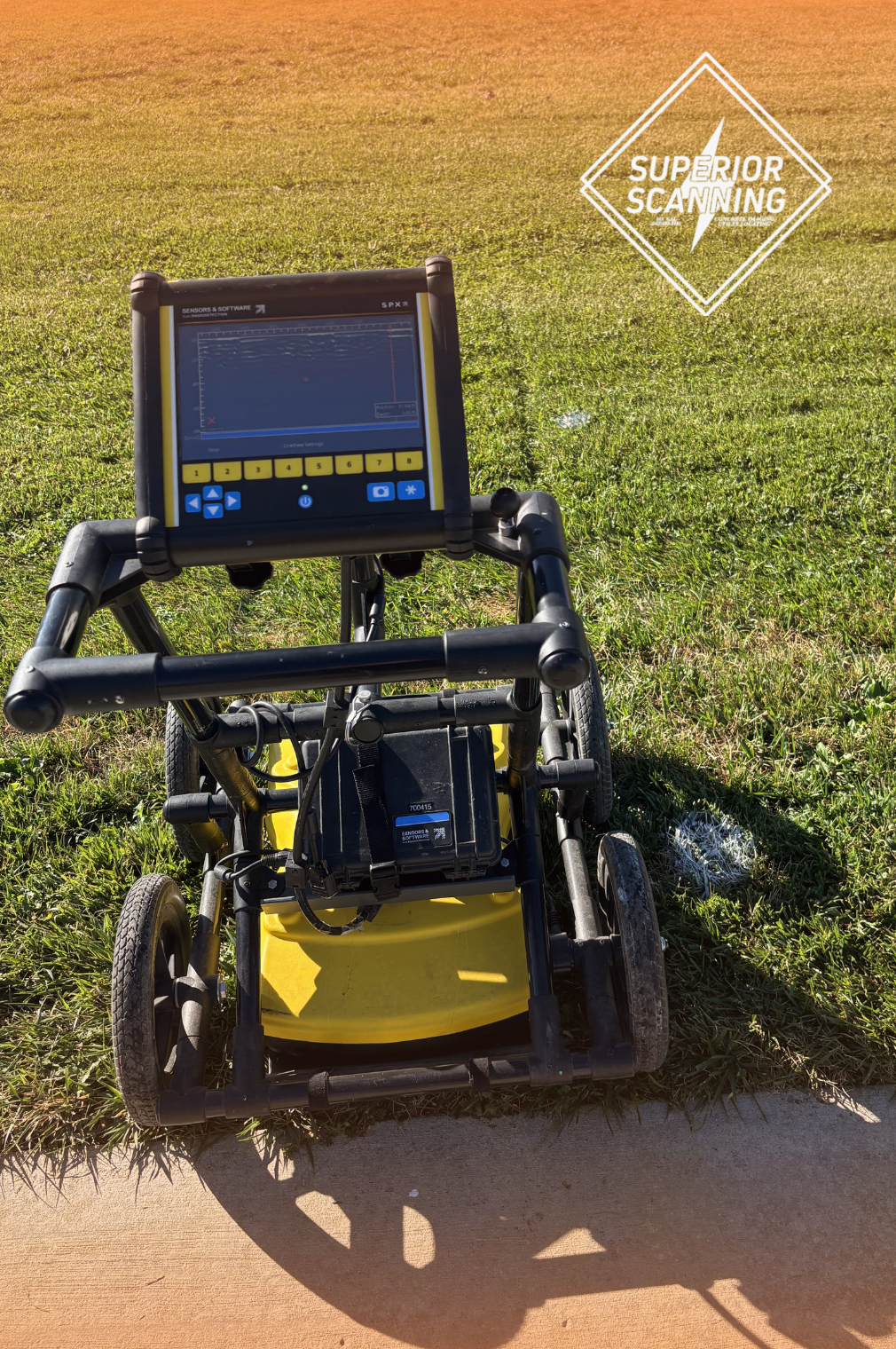
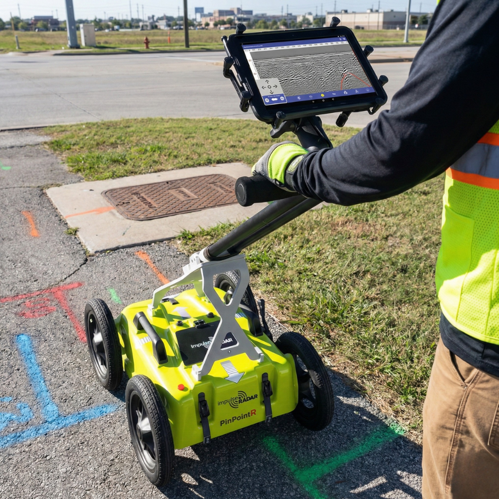
Underground utility mapping is the process of identifying, documenting, and organizing buried utility information for project planning and coordination. It focuses on underground infrastructure such as water, gas, electrical, sewer, storm drain, communication, irrigation, and site utility paths.
The goal is not just to find a line once. Private utility locating is usually focused on marking private-side utilities before excavation, while general utility mapping is the broader category for planning and documentation. Underground utility mapping sits between the two by turning buried utility findings into a practical reference that multiple stakeholders can use before work begins.
When Underground Utility Mapping Is Needed
Underground utility mapping is typically scheduled before excavation, trenching, design changes, or any project phase where multiple stakeholders need shared utility information for planning and handoff.
- Before excavation
- Before trenching
- Before design or layout changes
- When multiple stakeholders need shared utility information
- When documentation is required for planning or handoff
How Underground Utility Mapping Works
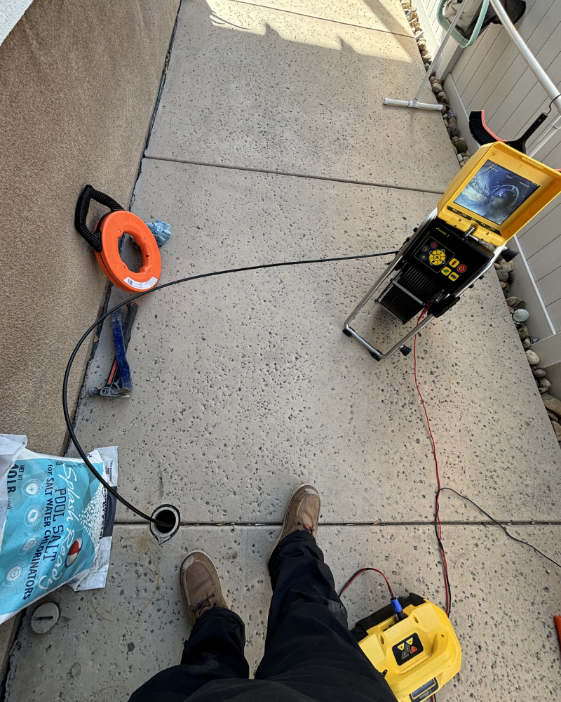
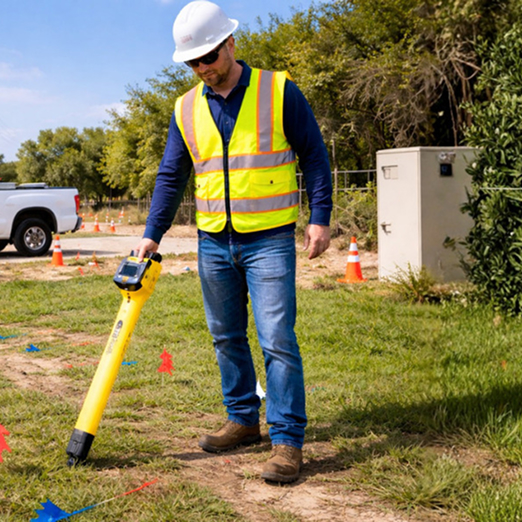
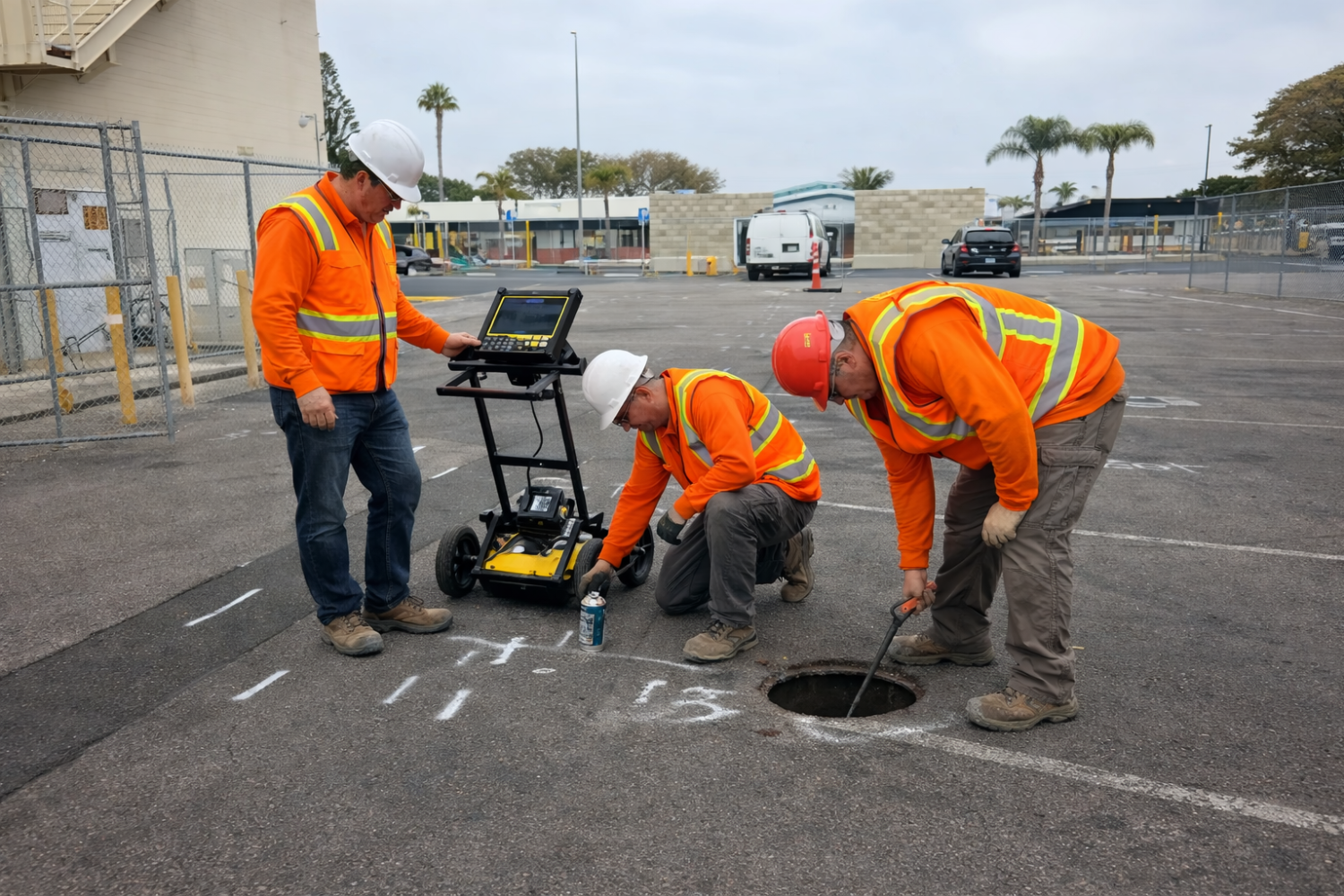
Underground utility mapping combines physical field locating with organized documentation. The process confirms buried utility conditions in the field and delivers information that teams can use for planning, coordination, and site decisions.
What Underground Utility Mapping Means on a Project Site
On a project site, buried utilities are identified and documented for team use. This helps contractors, engineers, and facility teams understand site conditions before work starts and supports coordination across active construction and planning environments.
How Underground Utility Mapping Is Different From a Simple Locate
Utility locating identifies utilities in the field. Underground utility mapping takes that field information and organizes it into a usable project reference so multiple stakeholders can work from the same utility information.
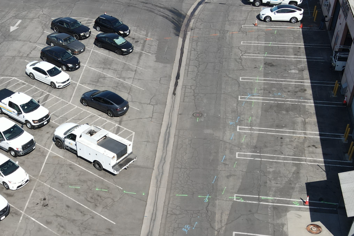
What Underground Utility Mapping Can Include
Underground utility mapping services are built around project needs. Deliverables are tailored to provide useful documentation for coordination, planning, and risk reduction.
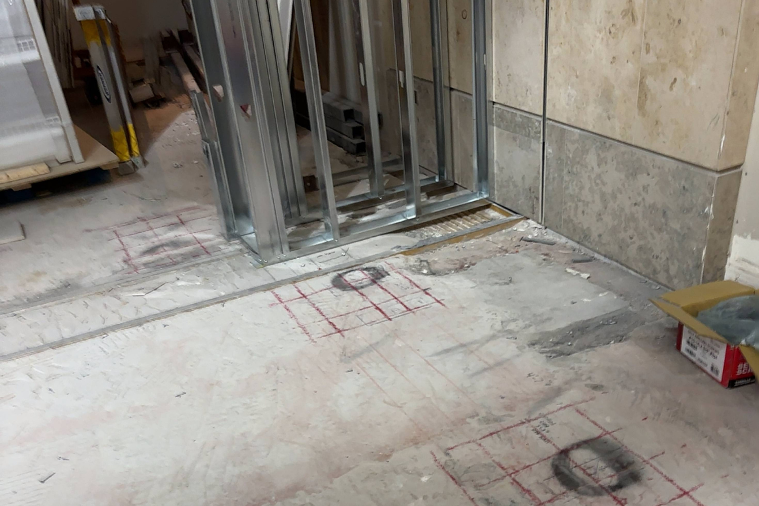
Buried Utility Documentation
Underground utility paths are documented to support construction teams, engineers, and facility stakeholders. This helps teams plan work with a better understanding of buried conditions.
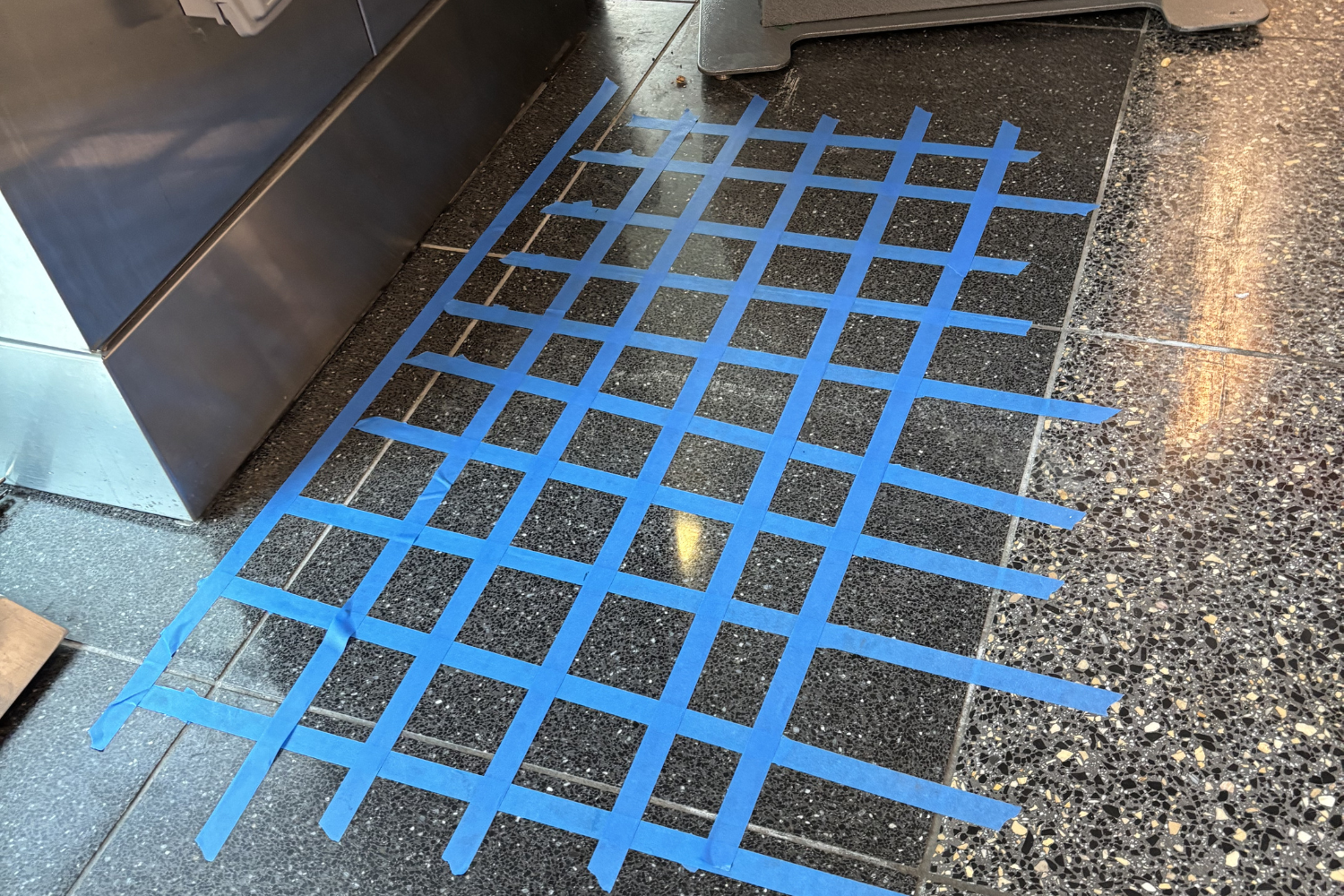
Site-Based Utility Reference Information
Field references are tied to real site conditions so teams can use the information during coordination meetings, planning, and future work. This reduces dependence on incomplete records.
Scope-Dependent Deliverables
Documentation may include field references, notes, photos, and mapped outputs based on project scope. The objective is to provide practical records the team can actually use.
Why Underground Utility Mapping Matters
Underground utility mapping improves project visibility and helps reduce risk before field work begins.
Helps Improve Construction Planning
Mapping provides better visibility into underground conditions before excavation, trenching, or layout changes. Teams can make more informed decisions earlier in planning.
Helps Reduce Surprises During Site Work
Incomplete records can create avoidable project problems. Mapping helps verify field conditions before work moves forward, supporting smoother execution.

When You Should Schedule Underground Utility Mapping
Schedule mapping before major planning or site changes so teams can coordinate around documented underground conditions.
Before Construction Planning
Mapping is useful during preconstruction and site coordination. It helps teams plan around buried infrastructure earlier and reduce downstream conflicts.
Before Excavation or Trenching
Mapping supports safer planning before ground disturbance. It is especially useful when teams need more than temporary field paint to guide work.
Before Facility Upgrades or Site Modifications
For campuses, industrial properties, commercial sites, and renovations, mapping helps document existing underground conditions before changes are made.
Who Uses Underground Utility Mapping Services
Underground utility mapping is used by project teams that need dependable utility information for planning and coordination.
Contractors and Construction Teams
General contractors, civil contractors, excavation teams, utility contractors, and project managers use underground utility mapping to coordinate work safely and efficiently.
Engineers, Facility Teams, and Property Stakeholders
Engineers, facility managers, property owners, campus and industrial site teams, and commercial property stakeholders use mapping records to support safer decisions and long-term planning.
When Existing Records Are Missing or Unclear
Site drawings and as-builts are not always complete. Underground utility mapping helps verify actual field conditions when records are outdated or uncertain.

Why Choose Superior Scanning for Underground Utility Mapping
Superior Scanning provides clear, usable mapping information focused on real project planning, coordination, and documentation needs.
Clear, Jobsite-Ready Utility Information
We deliver practical utility information teams can use for planning and coordination. This reduces confusion from relying only on assumptions or legacy records.
Support for Active Project Environments
Our team supports active jobsites and multi-team coordination with responsive service and communication aligned to real construction conditions.
Utility Mapping Focused on Real Project Needs
Our underground utility mapping service is built around construction and facility workflows. We focus on outcomes that improve planning, coordination, and site decision-making.
Planning Support for Complex Sites
From commercial properties to industrial facilities, we provide documentation that helps teams coordinate confidently before and during site work.
Usable Deliverables, Not Overcomplication
We emphasize clear and practical deliverables that support field teams and project managers without unnecessary complexity.
Built for Coordination and Handoffs
Our process supports planning meetings, stakeholder communication, and project handoffs by keeping utility information organized and accessible.
Underground Utility Mapping Service Areas
Superior Scanning serves Southern California with underground utility mapping support for construction, facility, and infrastructure projects.
Areas We Serve
Our teams regularly support projects across the following regions:
- Los Angeles
- Orange County
- Riverside
- San Diego
- Surrounding Southern California areas
Looking for Underground Utility Mapping Near Your Project Site?
If you are searching for underground utility mapping near your project site, our team is ready to help. Call or request a quote to schedule service.
Need a broader overview of planning and documentation support? Learn more about our utility mapping services.
Frequently Asked Questions About Underground Utility Mapping
What is underground utility mapping?
Underground utility mapping is the process of documenting buried utilities so project teams can use that information for planning, coordination, and future site work.
What is the difference between underground utility mapping and utility locating?
Utility locating identifies utilities in the field. Underground utility mapping organizes that information into a shared reference for planning and documentation.
When do I need underground utility mapping services?
Underground utility mapping services are commonly scheduled before planning, excavation, trenching, facility upgrades, and site modifications.
What types of projects use underground utility mapping?
Construction planning, facility planning, commercial and industrial site work, and campus or infrastructure projects all benefit from underground utility mapping.
What deliverables are included?
Deliverables depend on project scope and may include field references, notes, photos, and mapped outputs for team coordination.
Do you provide underground utility mapping near me?
Yes. Superior Scanning provides underground utility mapping services across Southern California, including Los Angeles, Orange County, Riverside, and San Diego.
Request Underground Utility Mapping Services
If your team needs better visibility into buried utilities, now is the time to schedule underground utility mapping before excavation or planning decisions move forward.
Call now or request a quote. Send your site location and project scope, and we will help with timing, planning needs, and scope-appropriate deliverables.
Lorem ipsum dolor sit amet, consectetur adipiscing elit. Ut elit tellus, luctus nec ullamcorper mattis, pulvinar dapibus leo.
